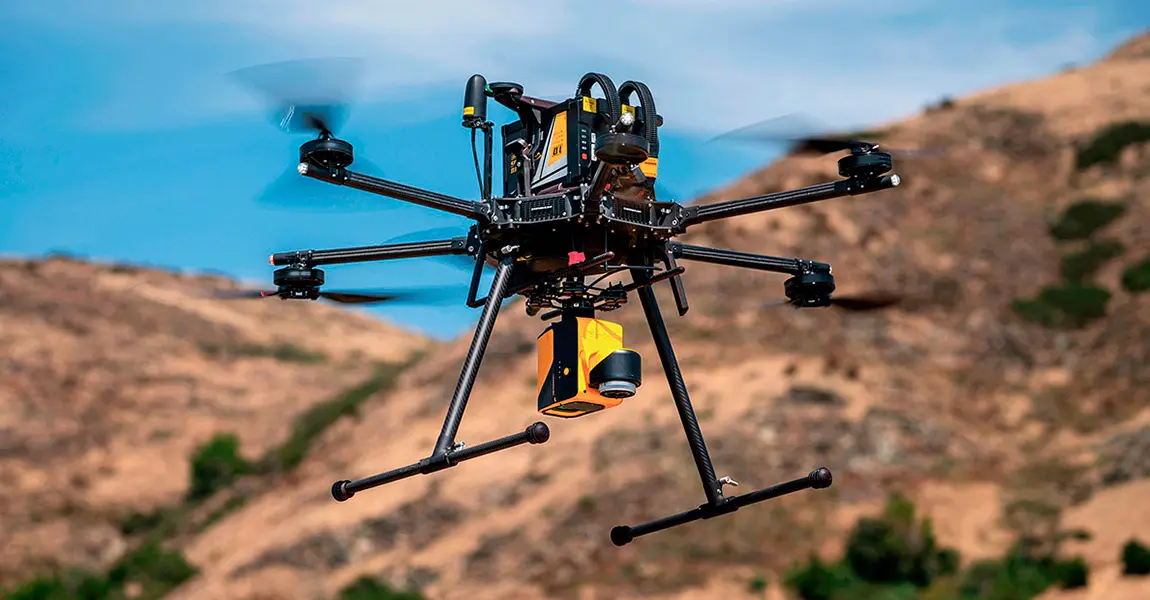
In high-risk industries like mining, oil and gas, and construction, ensuring the safety of workers and minimizing environmental hazards are top priorities. With advances in drone and 3D scanning solutions, companies are on the verge of a significant shift in how they approach safety and risk management. Drone 3D scanning offers a fast, precise, and cost-effective way to gather crucial data from hazardous environments without exposing workers to unnecessary risks. This technology is reshaping safety standards across industries that require operations in challenging or dangerous conditions.
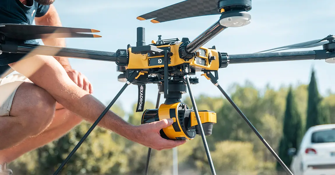
High-risk industries are defined by their exposure to hazardous conditions, where workers face dangers from heavy machinery, unstable structures, toxic materials, and harsh environmental elements. Traditional methods for inspecting and monitoring these environments often involve sending workers into potentially dangerous areas, putting human lives at risk. From unstable mining shafts to extreme weather conditions on oil rigs, the need for safer inspection and monitoring methods has never been more critical.
Drone efficient 3D scanning technology has emerged as a game-changing technology that not only enhances data accuracy but also dramatically improves safety by removing workers from dangerous conditions.
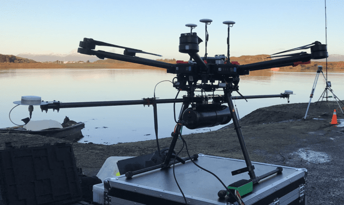
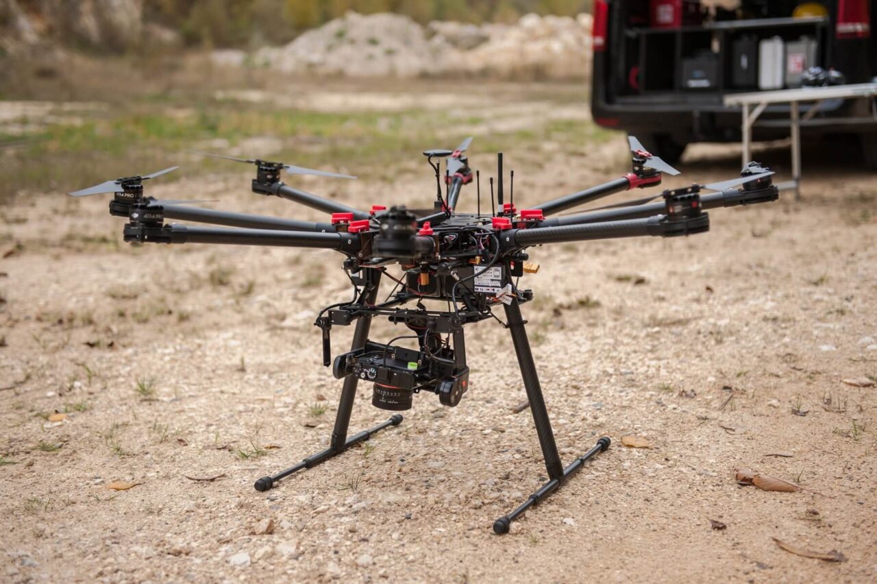
Drone 3D scanning combines the power of unmanned aerial vehicles (UAVs) with advanced 3D imaging technology to capture highly detailed spatial data of complex structures and landscapes. Equipped with LIDAR sensors, high-resolution cameras, and thermal imaging tools, drones can autonomously navigate high-risk environments, capturing data that would be difficult, if not impossible, to gather manually.
This process eliminates the need for workers to enter hazardous zones for data collection, dramatically reducing safety risks.
By replacing manual inspections in dangerous environments, drones significantly reduce the risk of accidents and injuries. In industries like mining, where inspection and maintenance tasks often involve sending workers underground, drones allow for thorough inspections without putting lives on the line. Drones can also access difficult-to-reach areas such as tall structures, confined spaces, and contaminated zones.
For example, in chemical plants, drones can scan and assess storage tanks containing toxic substances, limiting human exposure to hazardous materials.
Drones equipped with 3D scanning capabilities can complete inspections and surveys in a fraction of the time required by manual methods. A task that would take days to complete by foot or scaffolding can now be accomplished in hours, if not minutes. With the ability to conduct multiple scans within a short period, drones provide real-time data, allowing operators to make quick, informed decisions about repairs or maintenance.
The efficiency gains are especially significant in industries where downtime costs can quickly escalate. By enabling faster inspections, drones help to minimize operational interruptions, saving both time and resources.
Drone 3D scanning provides an unmatched level of detail and precision. The high-resolution 3D models generated from drone scans reveal intricate structural details, allowing engineers and safety teams to detect even minor issues that could pose risks. With thermal imaging capabilities, drones can identify temperature fluctuations that might indicate equipment failures or leaks.
For example, in the oil and gas sector, drones can scan pipelines and storage facilities, identifying potential issues like corrosion or pressure irregularities with pinpoint accuracy. This level of detail enables preventive maintenance, reducing the risk of costly and potentially dangerous breakdowns.
With real-time data and detailed 3D models, companies can shift from reactive to proactive maintenance strategies. Rather than waiting for equipment to fail or hazards to become critical, companies can use drone-generated data to predict potential issues and address them in advance. This predictive approach not only enhances safety but also reduces costs by preventing major failures.
In industries like construction, drones can monitor structural integrity over time, ensuring that buildings, bridges, and other infrastructures are safe throughout every phase of development.
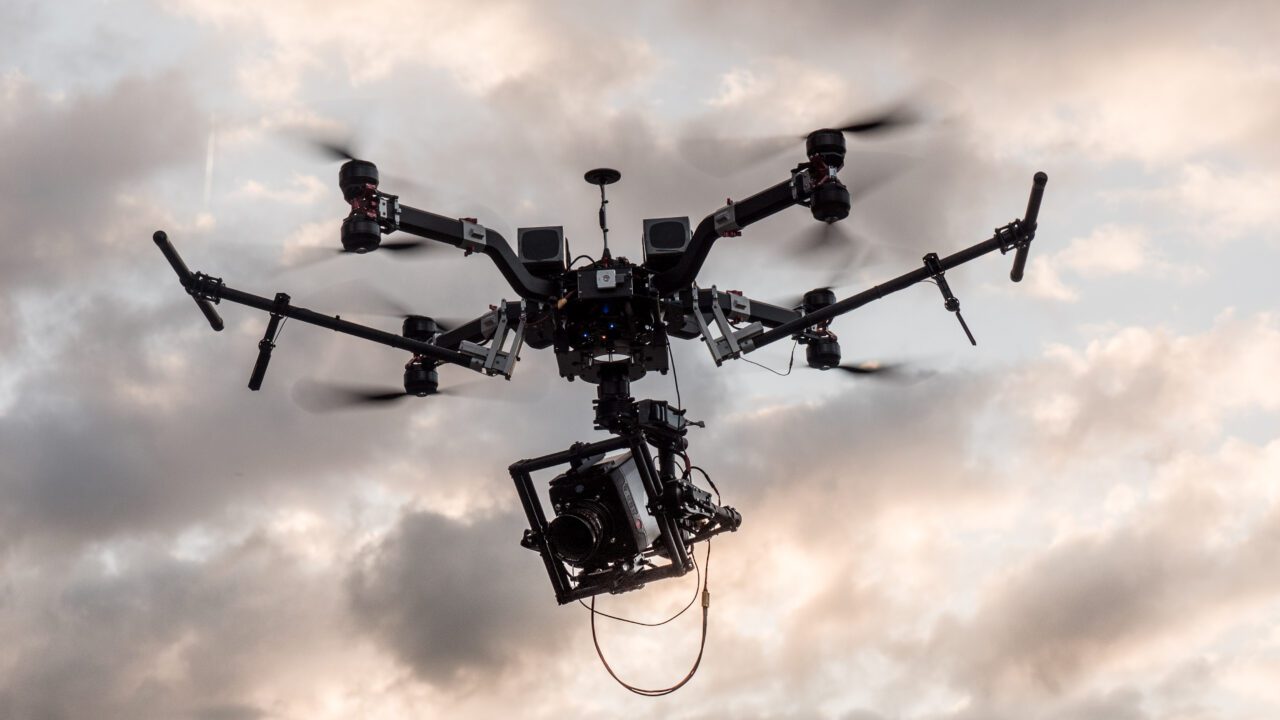
While the applications of drone 3D scanning technology are diverse, here are some notable examples of how high-risk industries are utilizing this technology to improve safety standards.
Mining operations often involve deep excavations and unstable geological structures. Drones can conduct regular inspections of mines and tunnels, generating 3D models that provide insights into rock stability and other potential hazards. Drones also help to map underground networks without exposing workers to risks from collapses or toxic gases.
In open-pit mines, drones can scan and monitor steep pit walls, which are often at risk of landslides. With detailed data on pit geometry, operators can make timely adjustments to excavation plans to prevent accidents.
Oil and gas facilities are complex and contain high-risk areas such as pipelines, offshore rigs, and refineries. Drone 3D scanning allows companies to monitor these facilities for leaks, corrosion, and structural weaknesses. By identifying issues early, companies can prevent explosions, fires, and environmental contamination.
Drones are particularly beneficial for offshore rigs, where high winds, waves, and remote locations make manual inspections challenging. Drone inspections eliminate the need to put workers at risk in these extreme conditions.
In construction, safety standards are paramount, particularly when dealing with skyscrapers, bridges, and other large-scale projects. Drones equipped with 3D scanners can monitor structures as they are built, ensuring adherence to safety protocols and detecting issues such as unstable scaffolding or material fatigue.
By regularly scanning the site, drones provide a clear picture of the construction progress, allowing project managers to address potential safety issues before they affect workers on site.
Power plants, transmission lines, and substations require regular maintenance to prevent malfunctions that could lead to outages or accidents. Drones equipped with 3D scanning and thermal imaging tools can quickly inspect infrastructure, identifying damaged areas or components that may be at risk of failure.
Drones are particularly useful for inspecting transmission lines in remote areas, where manual inspections are both time-consuming and hazardous.
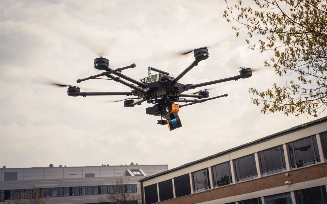
As drone and 3D scanning technologies continue to advance, we can expect even greater improvements in safety and operational efficiency across high-risk industries. Here are some key trends shaping the future of this technology:
The integration of artificial intelligence (AI) will enable drones to operate more autonomously, reducing the need for human intervention. AI-powered drones can analyze data in real-time, making it easier to detect issues instantly and take appropriate actions. This increased autonomy will further reduce the need for workers to enter hazardous areas.
As 3D scanning technology improves, so will the ability to process and analyze data more efficiently. Advanced analytics will allow for faster data interpretation, making it easier for companies to make informed decisions based on real-time information.
Future drone technologies are likely to integrate more closely with Industrial Internet of Things (IIoT) and SCADA systems, enabling seamless data transfer and improved monitoring. By connecting drones to these systems, companies can automatically trigger inspections or maintenance activities based on live data, enhancing response times and further reducing risks.
With the integration of augmented and virtual reality, drone 3D scanning could offer immersive inspection experiences, allowing operators to assess high-risk areas remotely. This would enhance decision-making capabilities, enabling virtual walkthroughs of facilities or sites without placing anyone in harm’s way.
The advent of drone 3D scanning is a milestone in the journey toward safer working conditions in high-risk industries. By enabling precise, real-time data collection and reducing the need for human presence in hazardous environments, this technology is redefining safety standards. From mining to oil and gas, construction, and utilities, drone 3D scanning offers a powerful solution for inspection, monitoring, and risk management.
As we look to the future, drone 3D scanning will become an indispensable tool for industries that prioritize safety and efficiency. Embracing this technology not only protects workers and the environment but also enhances operational performance, laying the foundation for a safer, smarter future.
Drone 3D scanning reduces the need for workers to physically enter hazardous areas, allowing for inspections and data collection to be conducted remotely. This minimizes exposure to dangerous conditions and lowers the risk of accidents, enhancing overall safety for workers.
High-risk industries such as mining, oil and gas, construction, and utilities benefit significantly. These industries often require inspections in difficult or dangerous locations, where drones can provide safer and more efficient data collection.
Yes, many drones are designed to operate in challenging environments, including extreme temperatures, high altitudes, and confined spaces. However, specific models and features are needed depending on the environmental conditions to ensure reliable performance.
Drone 3D scanning can achieve highly accurate results, often within a few millimeters. The accuracy depends on factors like the quality of the drone’s sensors, scanning technology (e.g., LIDAR), and processing software, making it suitable for detailed inspections and precise measurements.
The costs vary based on the complexity of the drone technology, the types of sensors and cameras required, and the frequency of use. While the upfront investment can be significant, the cost savings from reduced labor risks, improved safety, and minimized downtime can lead to a strong return on investment over time.
Was established in 1986, our primary business revolves around Independent Controls and Information Systems Integration.
Developed by Ish
